बागडोगरा डिस्पैच · IXB / NJP
MyTravelExpert.tech27°N हिमालयन मोनोग्राफ
EASTERN HIMALAYAN GAZETTEER · 12 VERIFIED DESTINATIONS

Destinations Across the 27°N Parallel

Every destination listed below is supported by our Bagdogra ground station (IXB / NJP) with verified road distances, elevation datums, permit guidance, and published tour itineraries.

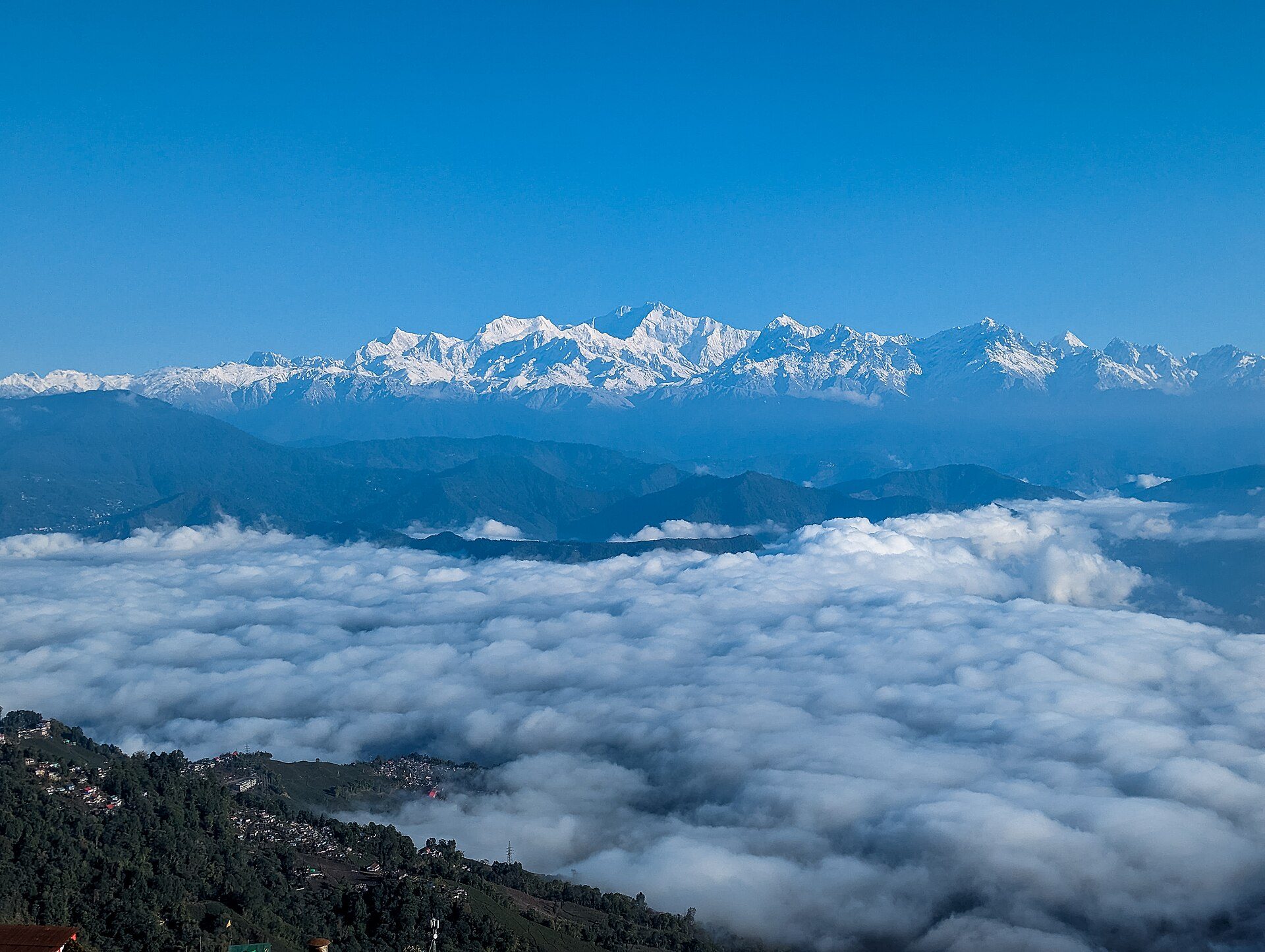
Darjeeling hill ridge rising above a sea of white valley clouds with the snow-covered Kangchenjunga range on the horizon
01Darjeeling & Kalimpong Ridges2,042 m

27.04°N, 88.27°E · Mar–May · Oct–Dec

Darjeeling

Queen of the Himalayas · Tea Ridges & Heritage Railway

Perched along a 2,042 m spur facing the Kangchenjunga massif, Darjeeling unites first-flush Muscatel tea gardens, the UNESCO Darjeeling Himalayan Railway, Ghoom Monastery, and dawn vistas from Tiger Hill (2,590 m).

68 km · ~3 to 3.5 hrs via Rohini / Kurseong
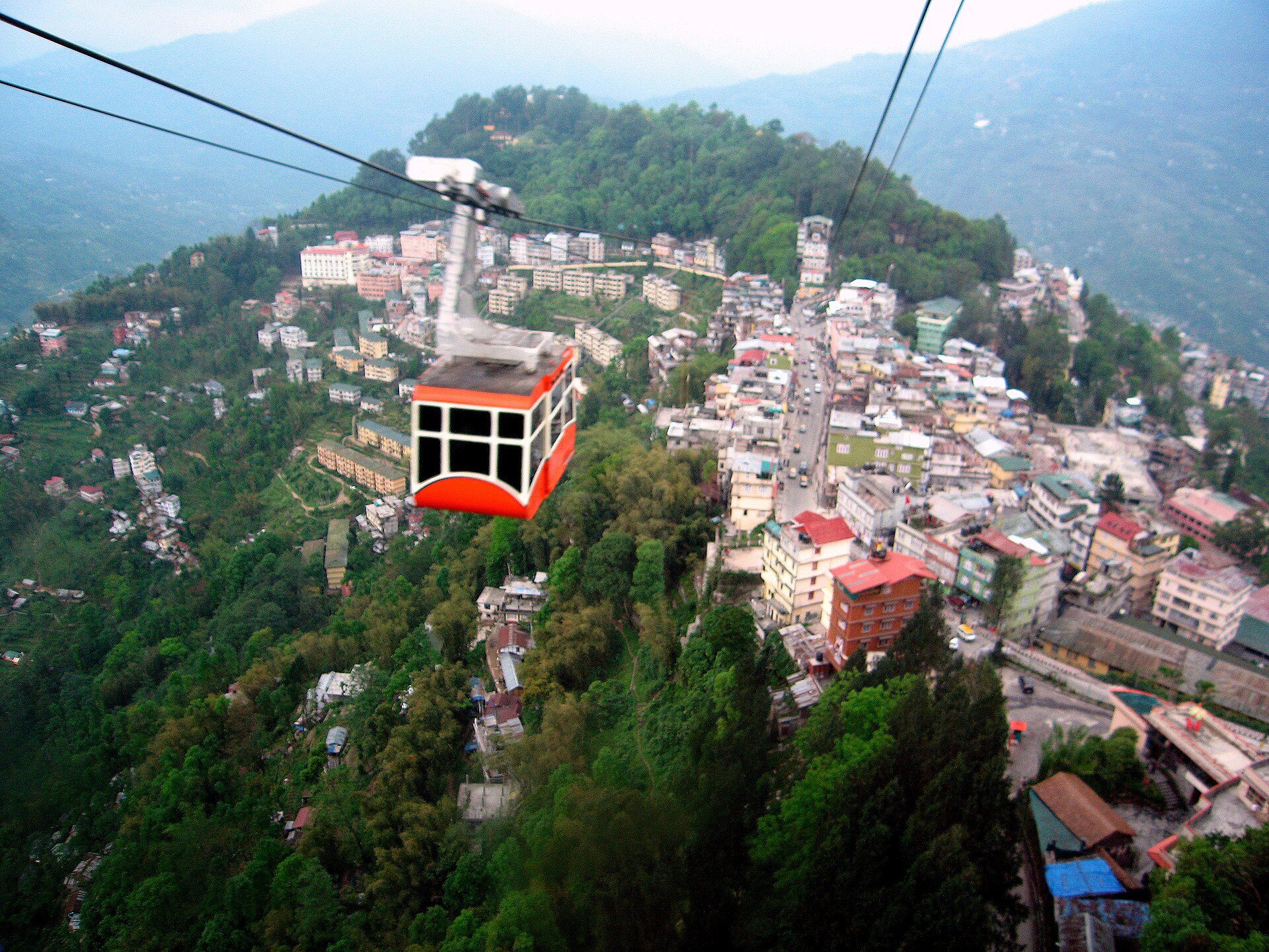
Aerial cable car of the Gangtok Ropeway suspended above the terraced hillside neighborhoods of Gangtok, Sikkim
02Sikkim High Passes1,650 m

27.33°N, 88.61°E · Mar–May · Oct–Dec

Gangtok & East Sikkim

Monastic Capital, Tsomgo Glacial Lake & Nathu La Frontier

Built across terraced cloud-forest spurs above the Ranikhola valley, Gangtok is the cultural heart of Sikkim and the staging post for high-altitude ascents to Tsomgo Lake, Baba Harbhajan Singh Memorial, and Nathu La Pass.

124 km · ~4 to 4.5 hrs via NH10 Teesta Gorge
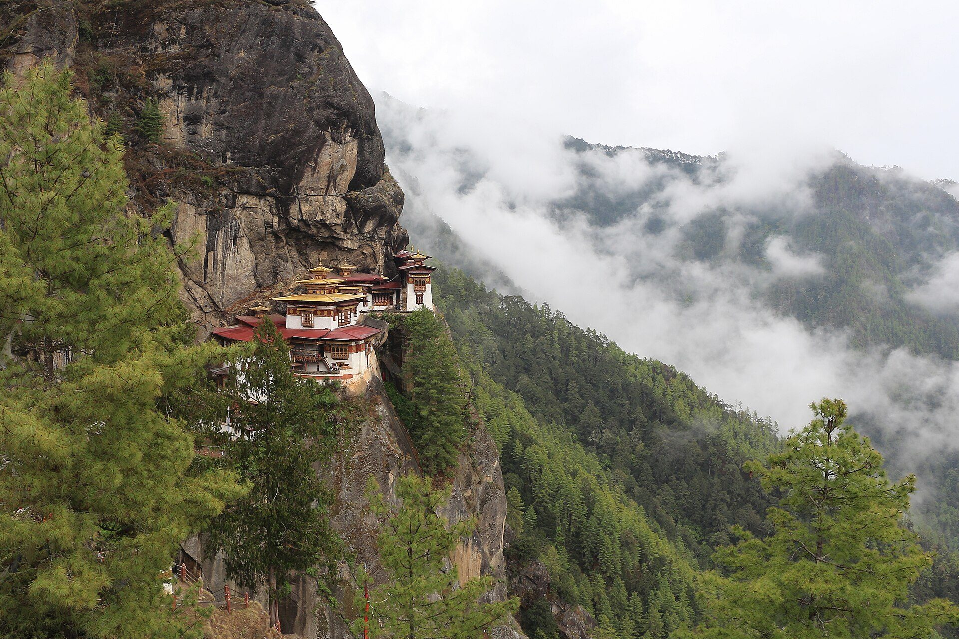
Paro Taktsang (Tiger's Nest Monastery) clinging to a sheer granite cliff amidst drifting mountain clouds in Paro Valley, Bhutan
03Kingdom of Bhutan2,200 m

27.43°N, 89.41°E · Mar–May · Sep–Nov

Bhutan (Paro, Thimphu & Punakha)

The Last Himalayan Kingdom · Cliffside Dzongs & Sacred Valleys

Reached overland via Phuentsholing or by air into Paro, the Kingdom of Bhutan offers pine-scented valleys, monumental river-confluence fortress dzongs, the 108 chortens of Dochula Pass, and the sacred cliffside ascent to Paro Taktsang (3,120 m).

155 km to Phuentsholing border (~4 hrs), onward to Thimphu/Paro
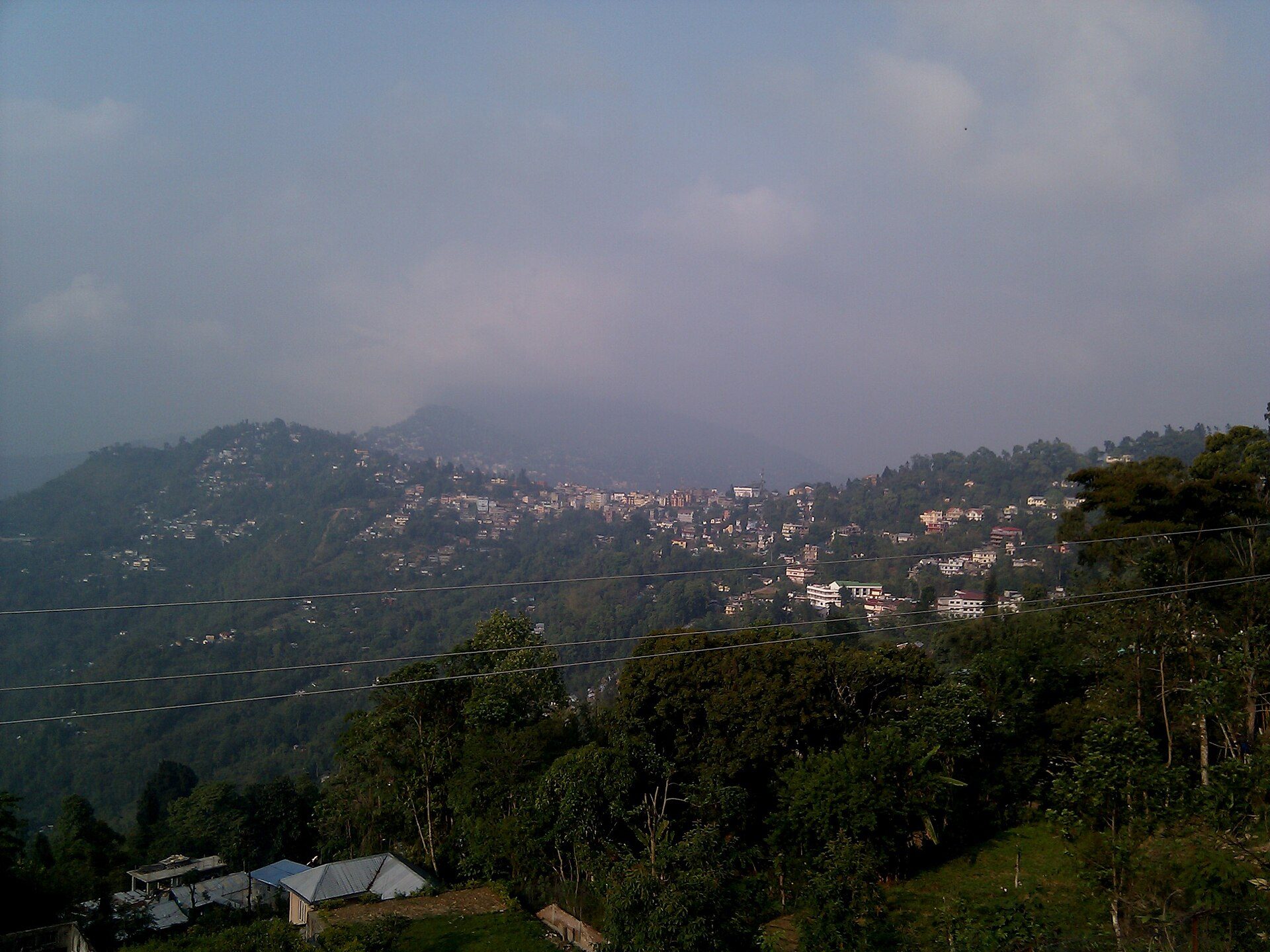
Kalimpong town spread across forested ridges under soft mountain clouds
04Darjeeling & Kalimpong Ridges1,247 m

27.07°N, 88.47°E · Mar–May · Oct–Feb

Kalimpong

The Orchid Ridge Above the Teesta Confluence

Resting on a sunlit saddle between Deolo and Durpin hills overlooking the emerald Teesta valley, Kalimpong is celebrated for rare Himalayan orchid nurseries, Tibetan monasteries, heritage colonial bungalows, and quiet pine walks.

75 km · ~2.5 to 3 hrs via Coronation Bridge & Teesta Bazaar
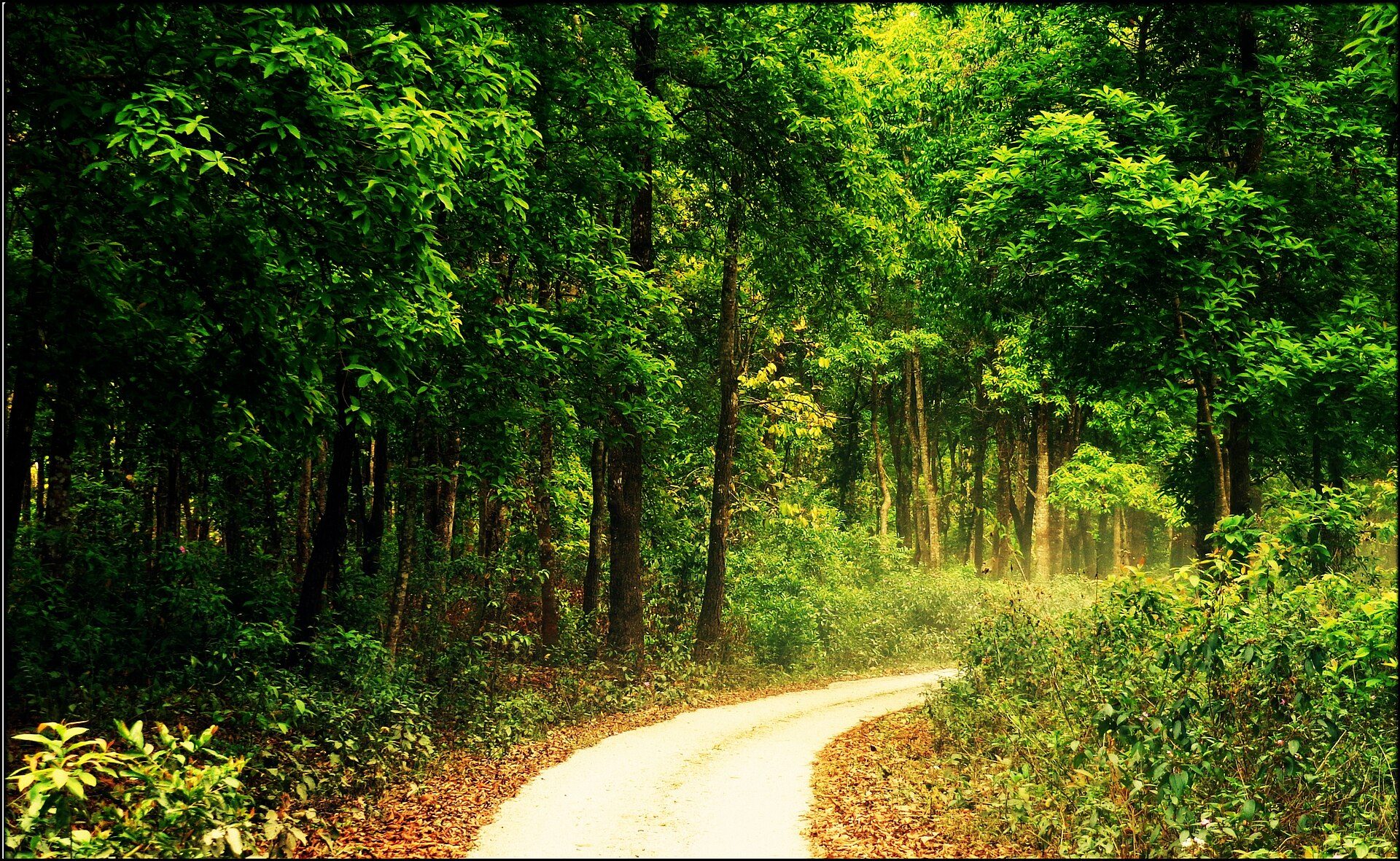
Sunlit forest trail curving through dense sal and tropical woodland in Jaldapara National Park, Dooars
05Dooars & Foothills140 m

26.70°N, 89.28°E · Oct–May (Sanctuaries closed mid-Jun to mid-Sep monsoon)

Dooars (Jaldapara & Gorumara)

Sub-Himalayan Terai Forests, Rhino Grasslands & River Tea Estates

Where braided Himalayan rivers emerge onto the Bengal plains, the Dooars forms a lush mosaic of sal forests, tall elephant grass, and historic tea gardens—home to the Indian one-horned rhinoceros, Asian elephants, and gaur.

85 km to Lataguri/Gorumara (~2.5 hrs) · 135 km to Jaldapara (~3.5 hrs)
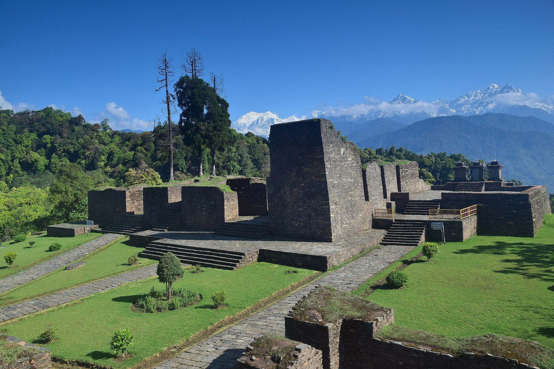
Stone palace ruins of Rabdentse at Pelling surrounded by green forest with the snow peaks of Kangchenjunga in the distance
06Sikkim High Passes2,150 m

27.30°N, 88.23°E · Oct–May

Pelling

West Sikkim Amphitheatre Facing Kangchenjunga

Situated high on a forested West Sikkim ridge just 45 km south of the Kangchenjunga snow wall, Pelling pairs intimate dawn mountain views with the 1705 Pemayangtse Monastery, the stone ruins of Rabdentse Palace, and sacred Khecheopalri Lake.

136 km · ~4.5 to 5 hrs via Jorethang & Legship
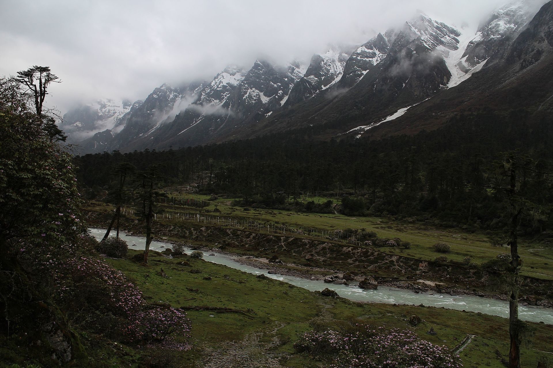
Glacial river winding through the misty alpine floor of Yumthang Valley near Lachung flanked by snow-dusted peaks
07Sikkim High Passes2,900 m

27.69°N, 88.74°E · Mar–Jun (Rhododendron bloom) · Oct–Dec

Lachung & Yumthang Valley

North Sikkim Valley of Rhododendrons & Hot Springs

Set at the confluence of the Lachen and Lachung tributaries in North Sikkim, the stone-and-timber village of Lachung is the gateway to the alpine meadows of Yumthang Valley (3,564 m) and Yumesamdong (Zero Point, 4,660 m).

118 km from Gangtok (~5 to 6 hrs via Mangan & Chungthang)
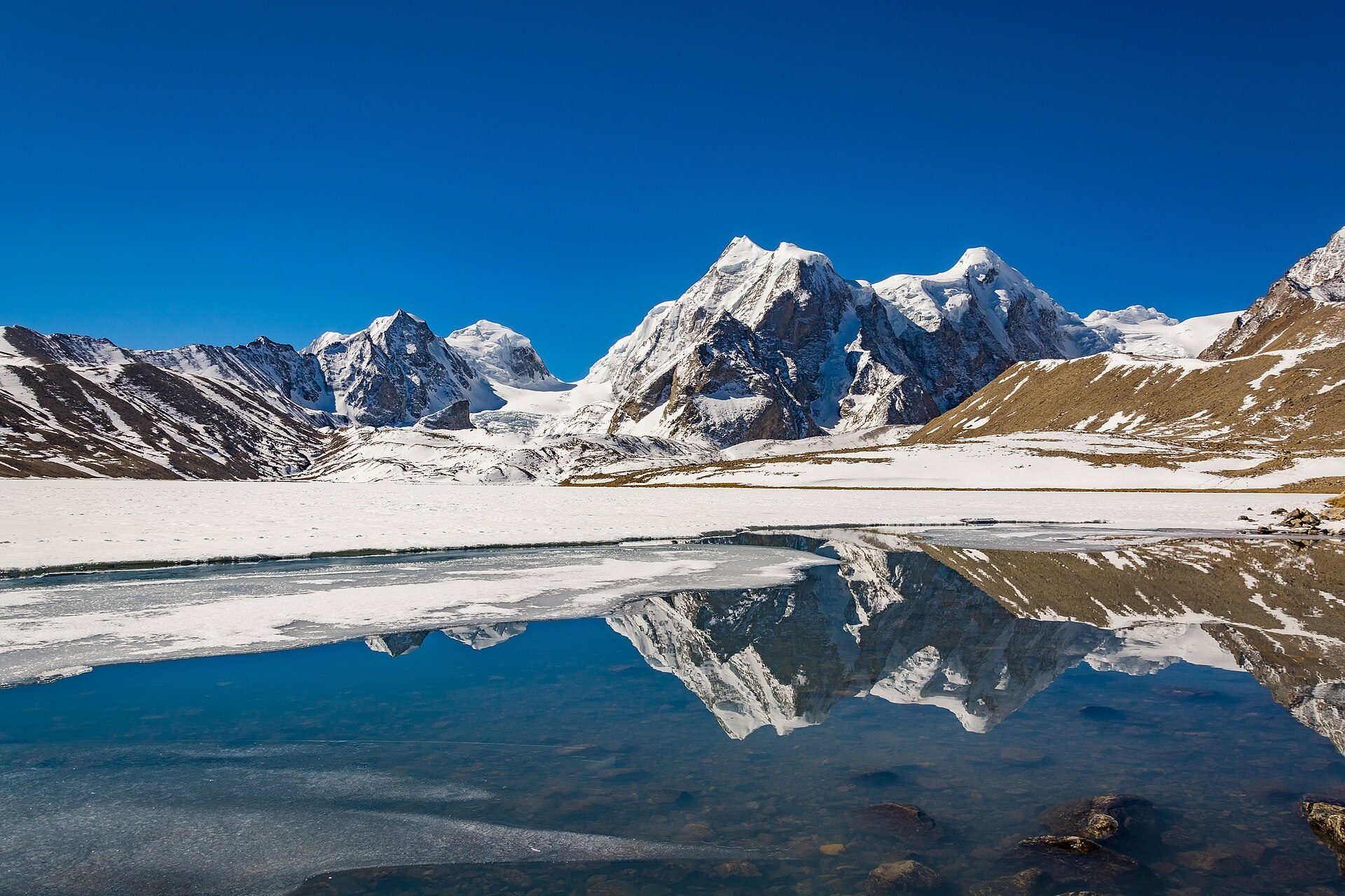
Snow-covered Himalayan peaks reflected in the half-frozen waters of Gurudongmar Lake above Lachen in North Sikkim
08Sikkim High Passes2,750 m

27.72°N, 88.55°E · Apr–Jun · Oct–Nov

Lachen & Gurudongmar Lake

High Plateau Gateway to Sacred Gurudongmar (5,148 m)

Tucked beneath sheer granite walls in North Sikkim, Lachen is the overnight acclimatization base for the pre-dawn climb up the Tibetan plateau edge to Gurudongmar Lake—one of the highest sacred glacial lakes on Earth at 5,148 m.

107 km from Gangtok to Lachen (~5 hrs); +65 km early-dawn ascent to Gurudongmar Lake
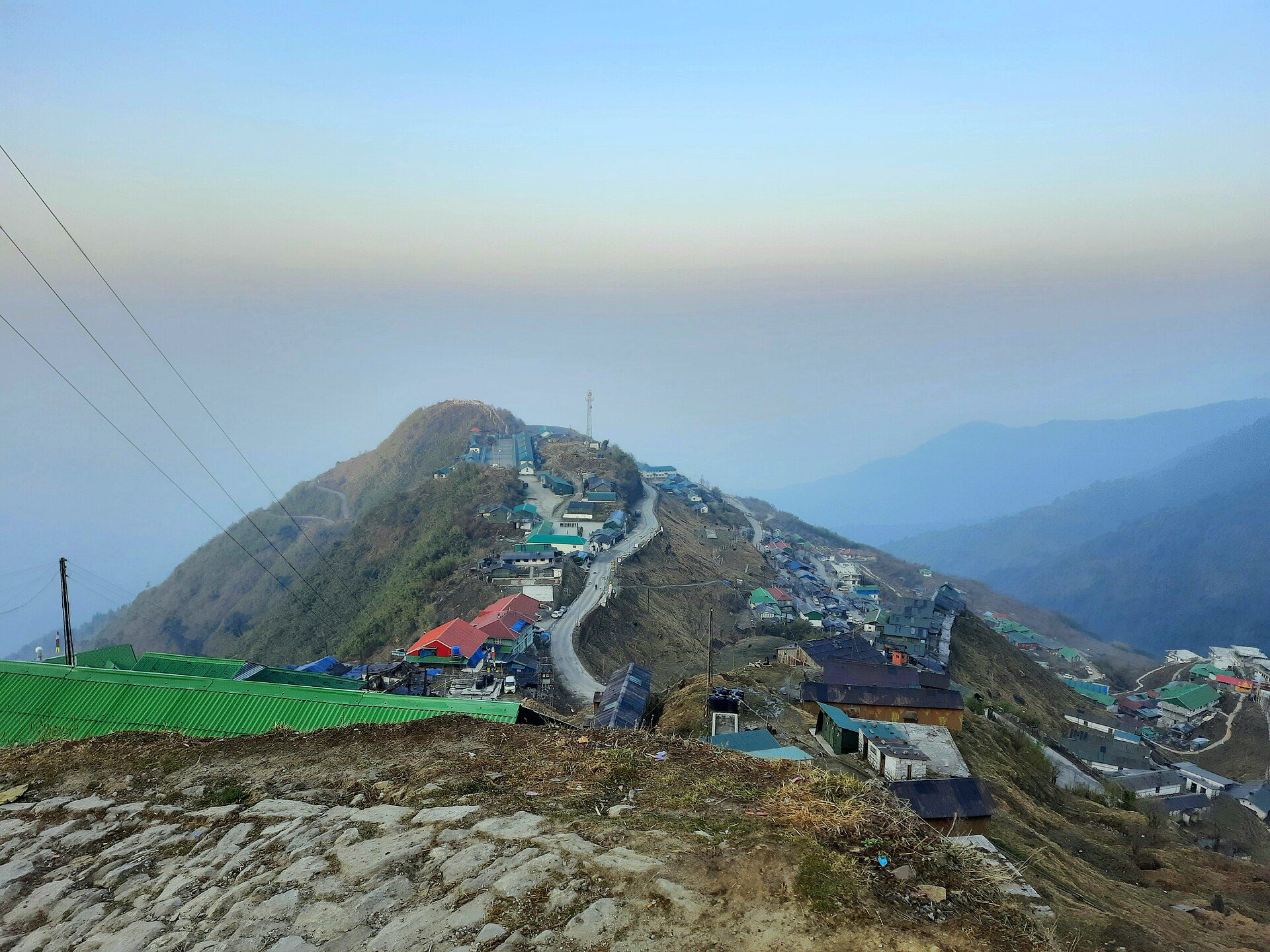
High-altitude ridge settlement and winding mountain road at Zuluk at dawn along the historic Old Silk Route in East Sikkim
09Sikkim High Passes2,865 m

27.25°N, 88.78°E · Apr–May · Oct–Feb

Zuluk (Old Silk Route)

32 Hairpin Switchbacks to Thambi View Point & Nathang Valley

Once a caravan staging post on the trade route linking Kalimpong to Lhasa via Jelep La, Zuluk is famed for its dramatic three-tier serpentine road climbing 32 hairpin turns to Thambi View Point (3,413 m), Lungthung, and high-altitude Kupup Lake.

145 km · ~5 to 5.5 hrs via Pedong, Rongli Checkpost & Padamchen
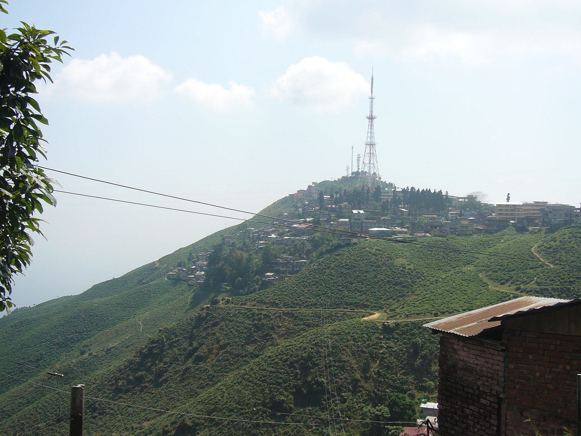
Steep tea-carpeted ridges and hill crest at Kurseong rising into soft Himalayan cloud
10Darjeeling & Kalimpong Ridges1,482 m

26.88°N, 88.28°E · Mar–May · Sep–Dec

Kurseong

Land of the White Orchids · Makaibari & Castleton Tea Slopes

Halfway up the climb from the Bagdogra plains to Darjeeling, Kurseong sits at a gentler 1,482 m altitude where clouds drift directly through heritage tea factories, cryptomeria pine forests, and the Darjeeling Himalayan Railway tracks.

42 km · ~1.5 hrs via Rohini Toll Road
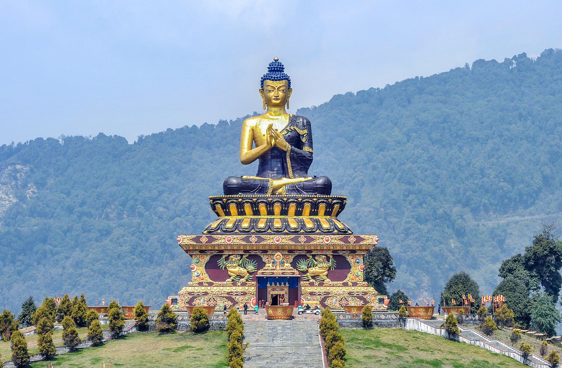
Towering golden statue of Lord Buddha at Tathagata Tsal (Buddha Park) in Ravangla set against green South Sikkim hills
11Sikkim High Passes2,100 m

27.31°N, 88.36°E · Mar–May · Oct–Dec

Ravangla

South Sikkim Sanctuary · Tathagata Tsal & Maenam Ridge

Balanced on a forested saddle between the Maenam and Tendong ridges in South Sikkim, Ravangla is crowned by the 130-foot golden statue of Lord Buddha at Tathagata Tsal (Buddha Park) with sweeping views of Mount Narsing and Kabru.

120 km · ~4 hrs via Teesta, Melli & Namchi
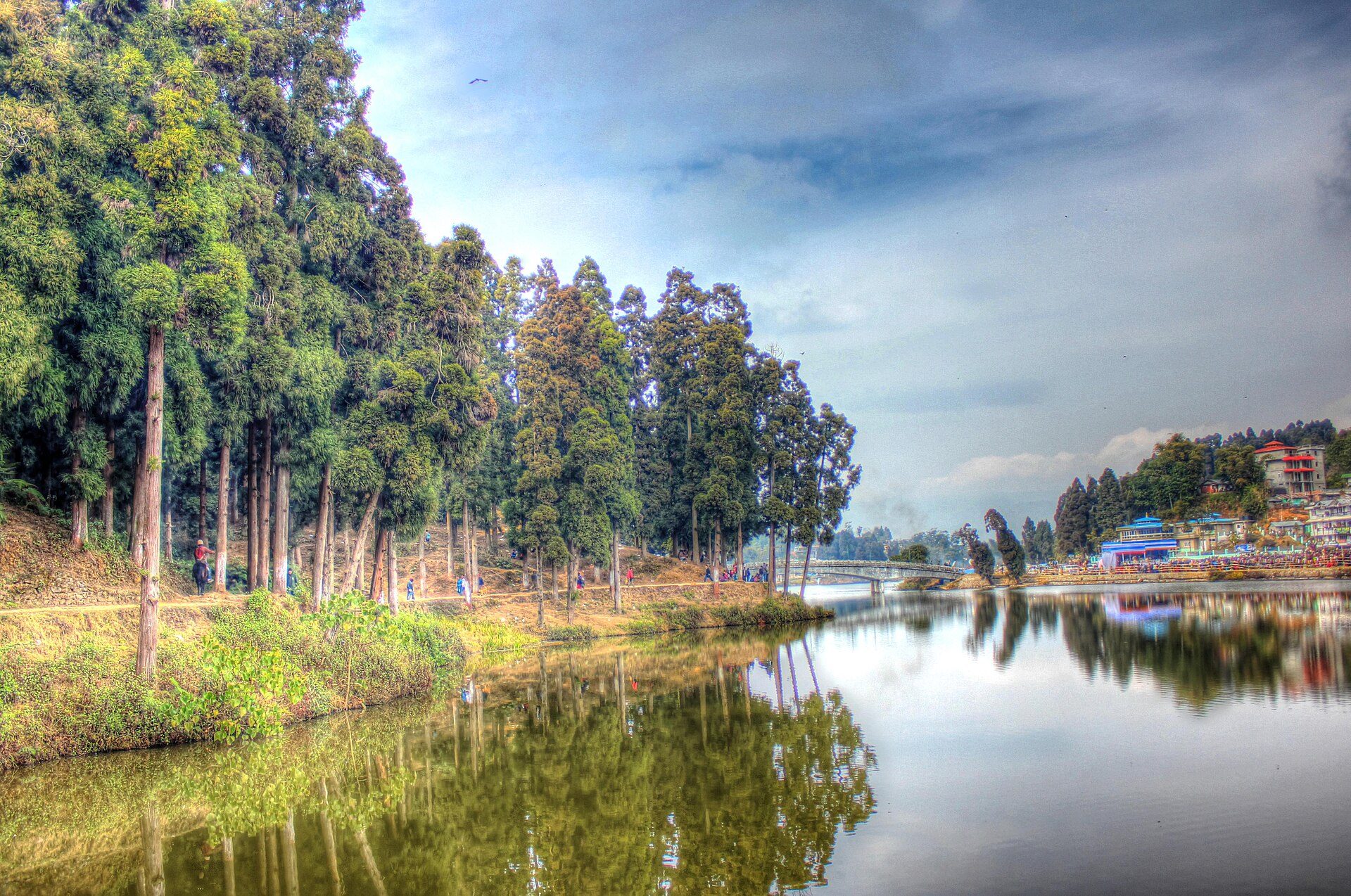
Pine-forested shore reflected in the calm waters of Sumendu Lake in Mirik, Darjeeling district
12Darjeeling & Kalimpong Ridges1,495 m

26.89°N, 88.18°E · Oct–May

Mirik

Pine-Ringed Sumendu Lake & Pashupati Border Drive

Cradled in a forested bowl at 1,495 m near the Indo-Nepal border ridge, Mirik centers around the 1.25 km Sumendu Lake spanned by the Indreni footbridge, surrounded by dhupi pines, orange orchards, and Gopaldhara tea slopes.

48 km · ~1.5 to 2 hrs via Dudhia & Soureni Tea Estate